
Taylor Neighbor Record Sources
A public block record is a set of sources with different limits. Parcel GIS shows the shape and location of adjoining land. Tax and assessment records can show labels assigned to a parcel. The Register of Deeds records land transactions. Michigan voter material describes what may be obtained through official public-record procedures, but it does not support a general web list of everyone on a block. Taylor's neighborhood program map gives civic geography, not membership or household information.
| Taylor block source | Documented block context | Access channel |
|---|---|---|
| Wayne parcel GIS | Parcel geometry, roads, boundary and ZIP layers | County GIS services and data catalog |
| Tax or assessment record | Parcel, situs, mailing, taxpayer or owner labels | Tax View, Taylor assessor, BS&A, or office request |
| Recorded instrument index | Grantor, grantee, document and legal-description facts | Wayne publicsearch, counter, mail, or copies |
| Michigan QVF procedure | Permitted registration and status data | MVIC, QVF request, or clerk routing |
| Good to Great map | City program-area geography and street boundaries | Official Taylor neighborhood page |
Owner, taxpayer, mailing contact, and occupant are not interchangeable. Use each label as the source displays it, and do not turn a block map into a roster of private households.
Taylor Parcels Around a Block
Wayne County parcel services publish parcel, road, municipal-boundary, ZIP, school-district, and state or federal district data. For a Taylor block, locate the starting address, identify its parcel, then pan to adjoining polygons. Compare the parcel boundary with the street, city, ZIP, and assessment record. County GIS warns that its data are not guaranteed, so it supplies map context rather than a final record of ownership or residency.
The parcel GIS service is shown below. Research did not capture a stable visual popup or exact neighbor-card fields, so a result should be read directly from the active service.
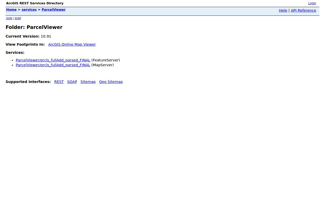
Record the service URL and retrieval date beside a map observation, then compare it against the assessor or tax record.
Taylor Block Map Process
Block research should stay tied to parcels and public civic context. The process below avoids joining names to a household when the record only identifies a property role.
- Locate the known Taylor address in county tax, assessment, or GIS data and preserve the returned situs and parcel labels.
- Use the parcel polygon to identify immediately adjoining parcels, not a broad radius or a street-wide household list.
- Check each parcel's assessment or tax label and its date, keeping recorded owner, taxpayer, and mailing labels separate.
- Use the deed index only when a specific land transaction or legal description needs confirmation.
- For a full named-street record chain, use the Taylor street directory rather than expanding a block exercise into a street roster.
Taylor Neighborhood Geography
Taylor's official Good to Great Neighborhoods page has a color-coded map and 39 numbered program areas with street boundaries. These areas are city program geography. They are not homeowner or household membership associations, and the research did not locate an official citywide association directory, member roster, meeting schedule, or block contact list.
The official neighborhood map is useful for seeing the city's program boundaries without exposing a private household.
For civic connection, Taylor's quick links include Neighborhood Watch tips, safety materials, and a guide for starting a watch, but those resources do not publish a resident directory.
Taylor Community Record Leads
Taylor Community Library, the Taylor Historical Society, and the city's public archives can supply local context without becoming neighbor lists. The library's Omeka archive supports Keyword, Boolean, Exact, Item, File, and Collection searches, with board-meeting minutes visible during research. A precise street or public-building term may reveal dated civic context. Check the original minute or archive item before relying on a result.
The Historical Society's Cemetery Committee, Historic Buildings, In Memory, and Blog are local-history leads. They do not establish a present address. No current public roster for a Taylor neighborhood group was verified, so contact any organization directly and respect its privacy rules.
Taylor Voter Data by Area
Michigan says public voter-registration records are available through FOIA, but it sharply separates public output from protected fields. The official QVF form describes possible geographic scopes including the entire state, county, jurisdiction, district, county commissioner district, state House or Senate district, congressional district, school, village, ward, or precinct. It also offers delivery choices and selected vote-history options. The research did not confirm a public Taylor street or block query in the live MVIC interface, which returned a 403 response in the research environment.
A request should identify the smallest existing record set that serves a lawful civic or historical question. Public output may include permitted name, residential or mailing address, birth year, registration date, status, voter ID, history, and jurisdiction fields. Do not seek or publish driver-license or state-ID numbers, month or day of birth, phone, email, digitized signature, or the last four digits of a Social Security number. A registration record is not proof of continuous residence or personal identity.
Taylor Recorded Parcel History
Once a block map identifies a parcel, the Wayne County Register of Deeds can provide a recorded land-history path. The office describes parcel references reaching to 1703, while its online service describes routine documents searchable from January 1, 1960. Free public searching is mainly a party-name index. Paid on-demand options may add address, legal description, parcel or tax ID, liber/page, and image access. A visible index line does not mean that the document image is free.
For a land record, preserve the grantor, grantee, instrument type, recording date, effective date if shown, document or liber/page reference, legal description, and image or certification status. The office also provides counter and mail channels. In-person service requires an appointment under the current office notice. A recorded transaction can explain a parcel history but does not identify every neighbor or establish who presently lives on the block.
Taylor Block Safety Checks
Public records can be misread when a similar name, a mailing address, or a time-sensitive status becomes a claim about a person. A tax card is an assessment record. A deed is a land transaction. A court result is not a certified court record. A custody or registry result has its own legal scope. Treat a source date and an official disclaimer as part of the result, especially before sharing anything with another person.
Wayne County's Mortgage & Deed Fraud Unit and Fraud Guard offer a property-owner monitoring lead through the Register of Deeds. The program is for monitoring names and reporting a concern, not for looking up other people's property. If an alert arrives, open the official Register page directly, compare the recorded instrument, and use the published office contact rather than a link or payment request inside an unsolicited message.
Mapping Taylor Neighbor Parcels
Parcel context becomes stronger when the same geographic unit appears in more than one official source. Wayne Tax View accepts parcel, owner, street, city, and ZIP searches. Taylor assessment and BS&A provide the local assessment route. The Register of Deeds can supply a legal description and recorded transaction history. Compare the descriptions, dates, and identifiers before deciding that two systems refer to the same parcel.
Use zoning only as planning context. Taylor's zoning MapServer identifies StreetName as its display field and can show labels such as the MT-1 Midtown Taylor Office/Institutional District. A zoning designation is not title, occupancy, or a statement about the people on a block.
Taylor Neighbor Source Comparison
Official record systems and commercial neighbor-search products serve different purposes. A county record identifies a custodian, a record type, a date, and an access rule. A commercial product may merge information from unknown dates or sources. For a Taylor question involving a parcel, legal description, court case, or official election procedure, go to the relevant government, court, library, or archive source and retain the source label.
| Official Taylor-area route | Commercial neighbor category |
|---|---|
| Names the custodian, record type, and retrieval date. | May combine records with unclear source dates or roles. |
| Lets the reader verify a parcel, map, or recorded instrument. | Can blur taxpayer, owner, mailing, and household labels. |
| Includes published privacy limits and correction channels. | Does not replace a custodian's original record or correction process. |
Use the Taylor Assessor, Wayne GIS, Register of Deeds, court, clerk, library, or historical society according to the record needed. A result that lacks a custodian or date is only a lead.
Taylor Neighbor Privacy Limits
Taylor neighbor research has firm boundaries. Michigan voter guidance excludes driver-license and state-ID numbers, month and day of birth, phone, email, digitized signatures, and other protected fields from public records. Court, vital, custody, and map systems have their own limitations. A map or tax label does not identify every household member, and a public record should never be used to build a profile of a private person.
Michigan's Address Confidentiality Program gives eligible participants a designated address and mail-forwarding option. Do not use deeds, taxes, voter data, court records, or GIS to attempt to locate an underlying address. If a record appears wrong, contact the actual custodian for its correction or redaction process. A Michigan FOIA request seeks a sufficiently described existing record; it cannot compel creation of a private-person dossier.
Lawful use. Taylor neighbor records can support civic context, family history, reconnecting, and a lawful safety question. Do not use records to stalk, harass, intimidate, or harm another person.