
Taylor Street Record Path
A Taylor street search works best as a series of records, not one result. Enter the exact number and street spelling in the county tax or Taylor assessment system. Retain the site address, parcel number, tax year, and every source label. Then place the parcel in the county GIS layer, where roads, municipal boundaries, ZIP areas, and neighboring geometry give context. Use the parcel number, legal description, or party name to query the Register of Deeds. The deed trail can identify recorded transactions, but it does not prove current occupancy.
Michigan's public voter-record rules permit particular registration data through official channels but do not establish an unrestricted public browse-by-street screen. The live MVIC fields were not captured for this research. Treat a city, ward, precinct, or other permitted QVF request as a records procedure with protected fields, not a public household directory. Past address work can add a directory, census, archive, or historical-society lead after the modern parcel record is identified.
- Search the full address in Wayne Tax View, then save the parcel, city, ZIP, and role labels exactly as returned.
- Use the parcel map to compare the situs with adjacent geometry, road, municipal, and ZIP layers.
- Check the Taylor assessment route for current assessment context and ask the office about missing record fields.
- Search the Register of Deeds by a party name, parcel or tax ID, legal description, address, or liber/page where the selected access level permits it.
- For a dated household lead, consult an original directory or archive item and confirm Taylor or Taylor Township in the document itself.
Taylor Address Search Fields
Wayne County Tax View is the documented address-first search tool for a Taylor street. It supplies separate parcel, owner, street, city, and ZIP routes. Use one route at a time, then compare the returned city and parcel with the map. A ZIP filter is postal context, not a municipal-boundary decision. The online tool can return a taxpayer or owner label, but that should not be converted into a claim about residency.
| Tax View field | Use for Taylor street work |
|---|---|
| Parcel | Connect a known identifier to assessment and map data. |
| Owner | Find a labeled tax or owner record, then confirm the role and date. |
| Street | Search a named street without assuming every returned address has the same municipal status. |
| City | Check the Taylor jurisdiction field beside the postal address. |
| ZIP | Narrow a postal area, then verify the parcel and city fields. |
The Tax View search form shows the available field choices. It is useful for structured address work, not a substitute for a deed or certified office record.
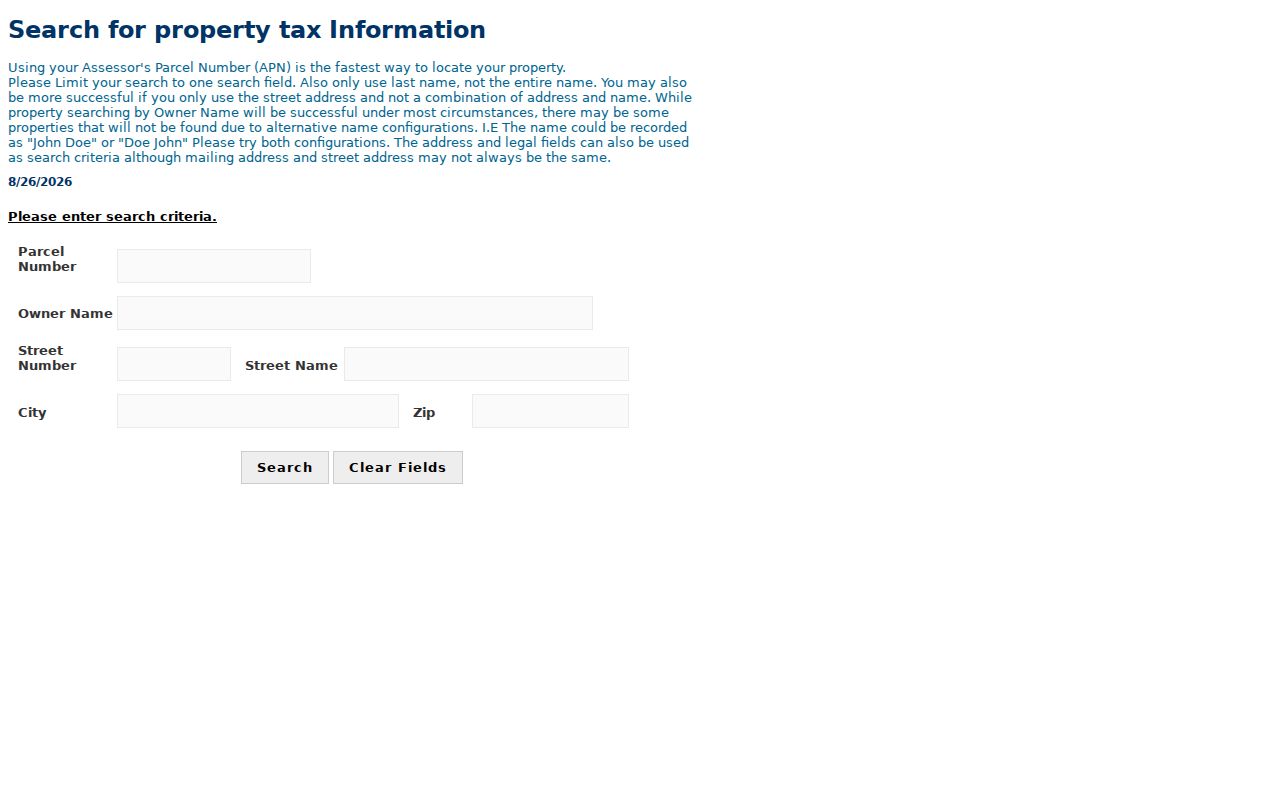
Save the query terms and retrieval date with the result because tax and ownership labels can change.
Taylor Parcel Roles by Address
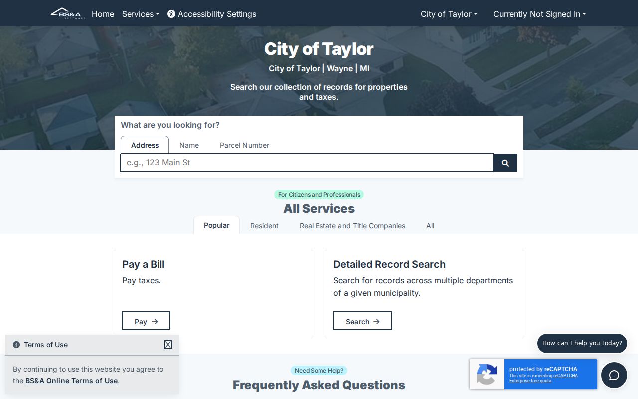
The Taylor Assessor links to BS&A Online for assessing, tax, detailed-record, property-sale, and delinquent-personal-property searches. The portal itself returned a 403 response during research, so a live Taylor card and its exact labels were not captured. The city page remains the office route for questions and record requests. The office accepts phone, email, or city contact-form requests and gives a stated seven-business-day response target.
The Taylor assessor page is the appropriate first source for local assessment questions.
The linked BS&A municipality page identifies Taylor's online entry point.
A card can include a parcel number, situs address, mailing address, taxpayer or owner label, legal description, assessed value, taxable value, tax year, characteristics, sales, and map links. Those fields describe distinct roles.
- Parcel
- A defined piece of land used in assessment and map systems.
- Situs address
- The location label for the property, which can differ from a mailing address.
- Plat
- A recorded map that can identify lots, blocks, and subdivisions.
- Criss-cross directory
- A historical directory arranged by street or address when a particular volume supports that order.
Taylor Street Map Context
Wayne County's parcel service and its GIS catalog provide parcel, road, municipal-boundary, ZIP, school-district, and state or federal district layers. Begin with the address, identify the parcel, then compare the polygon with the tax or assessment result. Map data are not guaranteed by the county, so the GIS layer is location context rather than a final title or occupancy source.
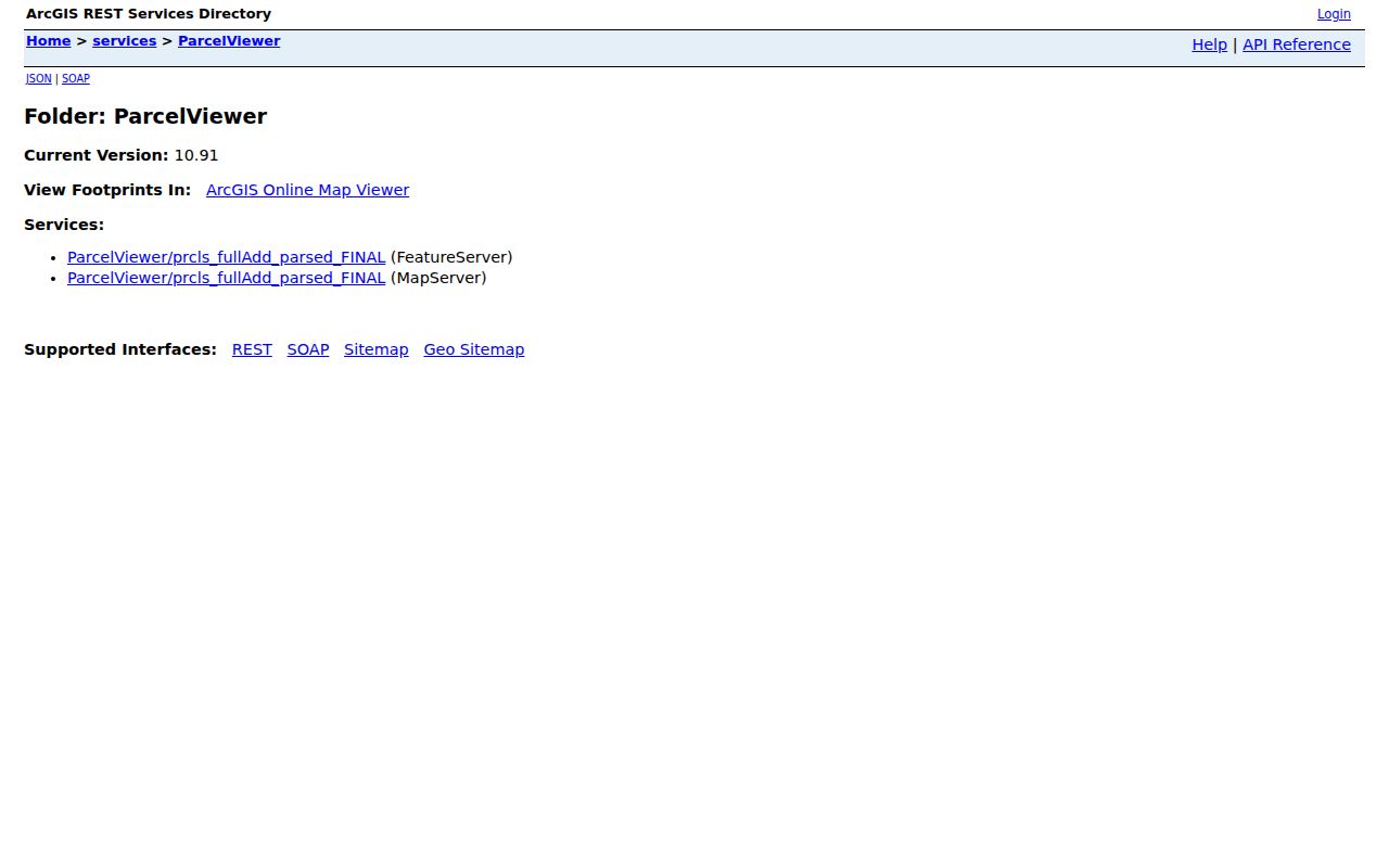
The parcel service folder below is the documented GIS entry point. A stable visual popup and its exact fields were not available during research, so do not assume a particular neighbor-card display.
Taylor's zoning MapServer can add StreetName and zoning context, but zoning is not proof of title, use, or residence.
Taylor Deed Trail by Street
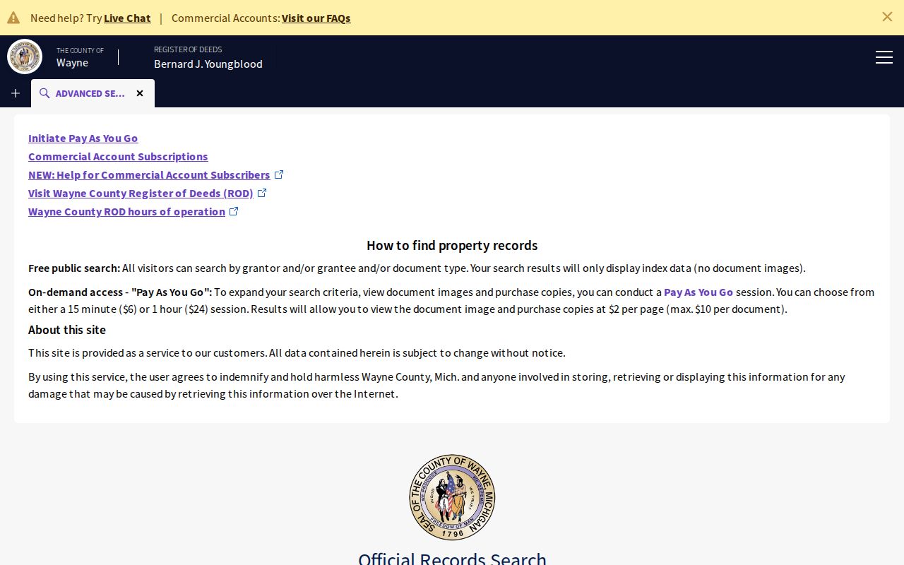
The Wayne County Register of Deeds has different online and archive layers. Its publicsearch route covers routine documents searchable from January 1, 1960, while the office describes land-history references reaching to 1703. Free public access is principally name-index searching; paid access can add address, legal-description, parcel or tax-ID, liber/page, and image options. A search result may omit images even when an index line is visible.
Follow a street address backward with party names, parcel or tax ID, legal description, plat name, liber/page, and document number. Record grantor, grantee, instrument type, recording date, effective date where shown, and copy status. A deed documents a transaction, not continuous occupancy. The Register page also gives the current appointment and fee guidance for counter or mail work.
The Register's official page makes the office route visible below.
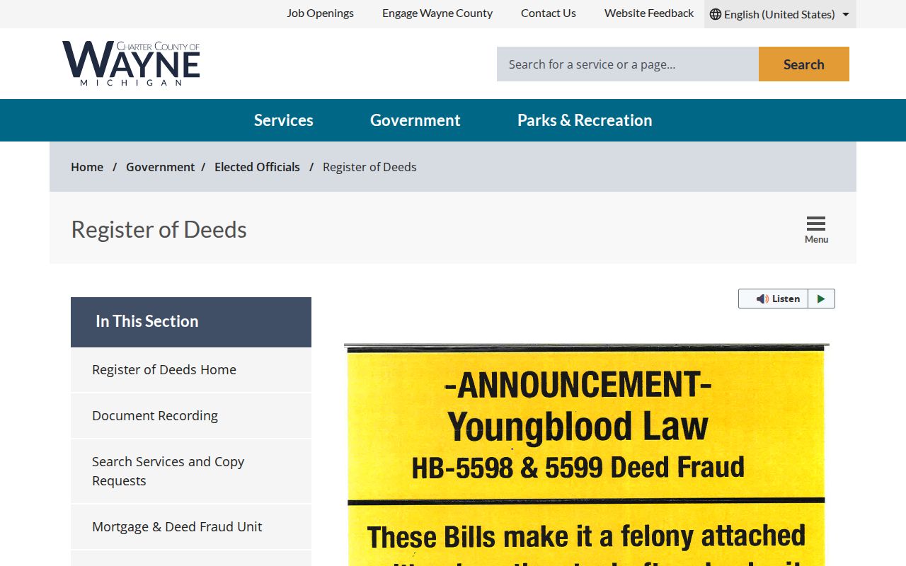
The Wayne land-record search is the online route for the index and paid access options.
Use the office, mail search, or certified-copy route when the online index does not contain the required document.
Taylor Street Address Records
Address-keyed systems can be chained, but they answer separate questions. Tax View and the assessor provide parcel and assessment context. GIS connects an address to geometry and public layers. The Register documents instruments and legal descriptions. A building-permit or reoccupancy form can provide a dated municipal application trail. Michigan voter procedures can address permitted registration data, but the research did not verify an open street-browse feature. Preserve the record's role rather than treating every matching name as a resident.
| Address record | Custodian | Documented purpose | Taylor access channel |
|---|---|---|---|
| Tax and assessment record | Taylor and Wayne County | Parcel, situs, tax or assessment labels | Tax View, BS&A, office, phone, email, or contact form |
| Parcel GIS | Wayne County | Geometry, roads, ZIP and boundary context | GIS service, data catalog, and downloadable layers |
| Recorded land instruments | Wayne County Register of Deeds | Grantor, grantee, dates, legal descriptions | Index, paid access, counter appointment, mail search, copies |
| Permit or reoccupancy form | City of Taylor | Address-centered application or inspection event | City permit and code-enforcement routes |
| Voter-record request | Michigan and local clerk | Permitted registration or status data | MVIC, QVF request, or local election routing |
The parcel number and legal description are the strongest bridge between assessment and deed materials. A street name alone can be ambiguous, and a ZIP field can describe postal routing rather than a city boundary.
Taylor Address History Gaps
No official Taylor street-renumbering or street-renaming schedule was located. Do not assume that an older address translates directly to a current number. When a house history crosses an apparent change, test the lot and block, legal description, plat, historical map, city archive notice, directory, census entry, or dated permit. Mark a proposed old-to-new match as tentative until an original record connects the labels.
The Taylor building-permit form is address centered and can include property address, zoning, owner or applicant information, work type, dimensions, materials, and estimated cost. It is evidence of an application or construction relationship, not proof that the applicant lived at the property. No public address-indexed permit or code-case search was located, so use the city office when an original file is needed.
Taylor ZIP Street Checks
48180 is the verified standard postal ZIP associated with Taylor. Wayne Tax View's ZIP field can narrow an address search, but postal codes are not municipal polygons. Wayne's ZIP map uses a 2010 Census delineation and labels its ZIP areas approximate. Compare the Tax View city field, the parcel map, and USPS city-state lookup before treating a nearby ZIP label as a Taylor address.
The city and county records reviewed did not identify a separate public address-assignment portal or a complete parcel-number format guide. Keep both the postal and municipal fields with any result. That makes the assessor, Tax View, GIS, and Register the practical sequence for a Taylor street search.
Taylor Permit Address Clues
Taylor's building-permit application is an address-centered municipal document. Its documented fields include property address and zoning, owner and applicant names and contact details, work type, dimensions, materials, contractor information, and estimated cost. Read it by its own date and version. It can help establish that an application or construction relationship existed, but it does not establish that an applicant lived at the location or completed the work.
The city permit page describes a residential zoning-review fee and commercial reviews based on acreage, with stated exemptions for specified work. A residential and commercial reoccupancy form is another dated inspection trail. It lists address, current-use category, owner or requestor information, and an inspection request. These are office records, not a continuous street directory. No public address-indexed code-case or permit search was located, so a missing web result should lead to the city department rather than an unsupported conclusion.
Taylor Township Street Context
Historical street research should account for Taylor Township and Taylor city as different jurisdiction labels. The University of Michigan's 1876 Wayne County atlas says Taylor Township was created from Ecorse in 1847. County material places the city-incorporation vote in May 1968 and the charter in 1969. An older plat, deed, directory, census, or municipal notice can use the township name even when the same area is now described as Taylor.
When an early name or road does not match a current address, use a legal description, lot and block, plat, deed reference, historic map, or original public notice to test the connection. The research confirmed a Wayne County atlas but did not verify Taylor-specific Sanborn years, a citywide criss-cross run, or a street-renumbering schedule. Library, historical-society, county archive, and original-record channels remain the practical fallback when a web search stops. Those gaps should remain explicit in any street-by-street conclusion.
Taylor Street Directory Limits
A Taylor street directory does not establish every person at an address. A tax record, deed, permit, or map may show an owner, applicant, or location, not an occupant. The research did not locate a public Taylor household roll, public code-case index, or unrestricted voter browse tool. Michigan also protects important voter fields, and the Address Confidentiality Program can provide a designated address for eligible participants. Stop rather than trying to infer a protected location.
Lawful use. Taylor street research can support family history, civic context, property curiosity, and a lawful personal question. Do not use record results to stalk, harass, intimidate, or harm any person.