
Taylor Previous Residents by Era
Different records carry a Taylor address trail through different periods. The Wayne County Register of Deeds describes routine online search and copy availability back to January 1, 1960, while its archival description reaches back to 1703. Those statements do not mean the same thing. A Taylor document may be held by the Register even when it is not available through the routine online route. For a recent Taylor question, start with parcel, assessment, and recorded instruments. For an older one, add census, regional directories, historic maps, and the library or historical society.
| Source | Verified time coverage | Where to use it | What it can show |
|---|---|---|---|
| Wayne Register of Deeds | Routine online search/copy route from January 1, 1960; archival reference reaches to 1703 | Publicsearch, Register office, mail route | Recorded instruments, legal descriptions, grantor and grantee names |
| Tax, assessment, and GIS records | Current and dated portal records; no historic Taylor coverage span verified | Taylor Assessor, BS&A, Wayne Tax View, and GIS | Parcel, situs, tax, assessment, and map context |
| Regional city-directory leads | Taylor run unverified; Detroit example is 1857-1858 | Library, state guide, and regional catalogs | Possible household, address, and related context |
| Federal census | Public releases follow the 72-year rule; 1950 is available | National Archives and library research tools | Household information when the schedule and place match |
| Permit and reoccupancy forms | No address-indexed public historic search located | Taylor permit and code routes | Dated application or inspection context |
| Atlas and map research | Wayne County atlas verified for 1876; no Taylor Sanborn run verified | University, library, and archive repositories | Township, road, parcel, and period context |
Choose the source by the Taylor question. A Taylor deed can establish a transaction. A directory or census can offer household context. A permit can date a municipal application. None should be stretched to prove more than its own record type supports.
Start Taylor Previous Residents With Parcel
For an address in Taylor, first write the Taylor house number and street exactly as used today. Then compare the Taylor address in Wayne County Tax View, the Taylor Assessor or BS&A route, Wayne GIS, and the Register of Deeds. The county systems separate situs or property address, mailing address, taxpayer or assessment party, recorded owner, legal description, and parcel identifier. These labels can differ. Keeping each label and its retrieval date prevents a Taylor parcel trail from becoming an unsupported claim about who lived there.
Wayne County publicsearch is the land-record portal used for the recorded-instrument part of the trail.
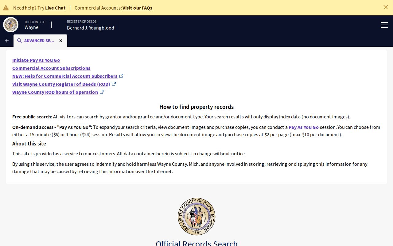
The portal is useful after Taylor parcel information has narrowed the search, but its free public route is principally an index search by grantor or grantee name. Paid routes can add address, legal-description, parcel or tax-ID, liber or page, and image options.
Use this simple record flow: current address → parcel or tax record → legal description and current recorded name → deed index → earlier instrument → historical household source. If a record lacks a field, mark it as not located rather than filling it from memory or an unrelated listing.
Taylor Previous Residents Deed Chain
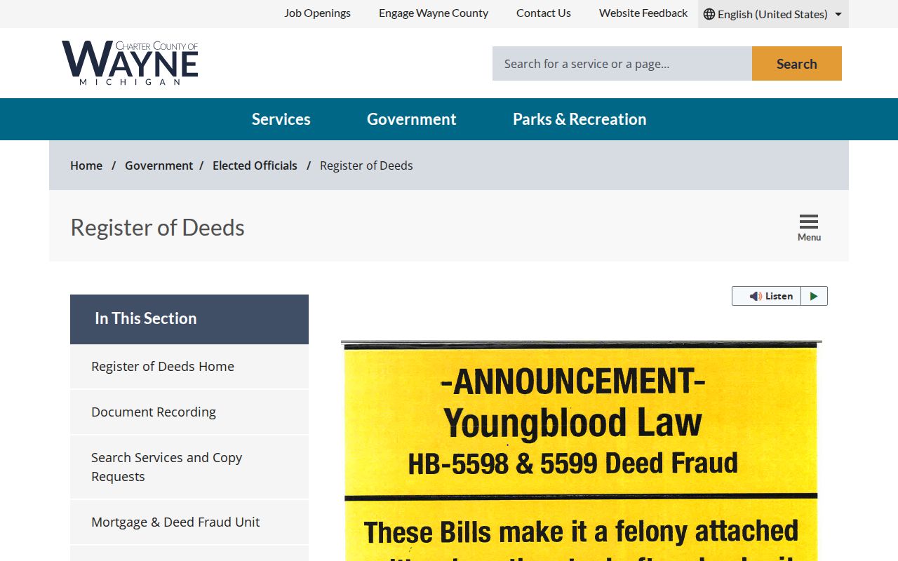
The Wayne County Register of Deeds is the central land-record office for a Taylor property. The office calls itself the county's land-record library and says each of nearly 900,000 parcels has a history. Free public name searching can show index listings without images. Paid, on-demand access adds time-based search and image or copy functions. Older county instructions also describe in-person and mail search paths, while the current Register page says appointments were required beginning October 1, 2025. Check the live office page before planning a visit or paying a fee.
The Register of Deeds page supplies the current office and access notice shown here.
For every Taylor instrument, capture the document type, recording date, effective date when shown, grantor, grantee, liber and page or document number, legal description, parcel or tax ID when available, and whether the result is an index, image, copy, or certified copy.
- Locate the parcel and current recorded name through the assessment, tax, GIS, and Register routes.
- Search the current name as grantee to find the instrument that transferred the property into that name.
- Record the seller, document number or liber and page, instrument type, recording date, and legal description.
- Search that earlier owner as grantee to find the prior acquisition, then repeat the same capture.
- When the online route ends, ask the Register about older index, document, archive, mail, or in-person access rather than assuming the chain stops.
- Grantor and grantee
- The grantor conveys an interest in an instrument; the grantee receives that stated interest.
- Chain of title
- A dated sequence of recorded instruments connecting transfers of an interest in a parcel.
- Legal description
- The lot, block, plat, metes-and-bounds, or other formal parcel description that can bridge changing street labels.
Taylor Previous Residents and Ownership
A recorded owner is not automatically one of the previous residents. The Taylor property trail separates at least four roles: situs or property address, mailing address, taxpayer or assessment party, and recorded owner. A mailing address can be a billing destination, a fiduciary or agent address, an alternate address, or an older record. A deed shows a legal transaction, not continuous occupancy.
Use careful labels in notes and citations. Say that the tax record lists a taxpayer, the assessor lists a property field, the GIS service locates a parcel, or a deed names parties to an instrument. Then seek an independent dated household source before connecting a person to residence at the address.
Note: The safest conclusion is often narrower than the first result, especially where a property transaction and a household record do not match.
Taylor Township Address History
Old records can use Taylor Township rather than the City of Taylor. The University of Michigan's 1876 Wayne County atlas says Taylor Township was created from Ecorse in 1847. Wayne County's community profile places the vote to incorporate in May 1968 and the city charter in 1969. Search the record date before choosing the jurisdiction term, particularly when comparing a directory, census schedule, plat, deed, or municipal notice.
For a house-history question, legal description and plat information are more durable than a street label. The Register's historical land-record framework reaches back to 1703, while its current online instructions describe routine search and copy availability from 1960. That contrast is a practical reminder to ask the custodian about archives when an older Taylor Township instrument is absent from the web portal.
The Taylor Historical Society is a local lead for family, cemetery, historic-building, and organization context.
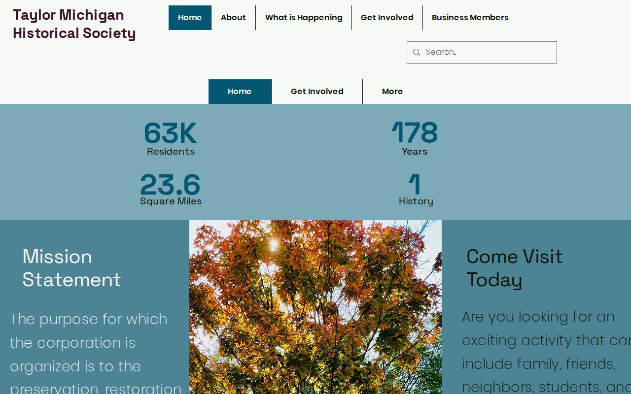
The society's public navigation includes Cemetery Committee, Historic Buildings, In Memory, and Blog sections, but no searchable directory catalog or year range was located. Ask the society what it holds and how it can be accessed before relying on a lead.
Note: Taylor Township and City of Taylor labels should stay with the dated source, even when a current address uses only Taylor.
Taylor Directories and Census Pairing
After the deed chain identifies a period, historical household sources can help answer who lived here before. No Taylor-specific city-directory publisher or year run was verified. The Taylor city directory collections route explains how to test Library of Michigan, Detroit-area, Library of Congress, Taylor library, and historical-society leads without assuming that a regional volume covers Taylor. The only verified directory item in this research is the 1857-1858 Detroit example, which must be read as a regional source.
The FamilySearch catalog record for the Detroit directory documents that limited regional example.
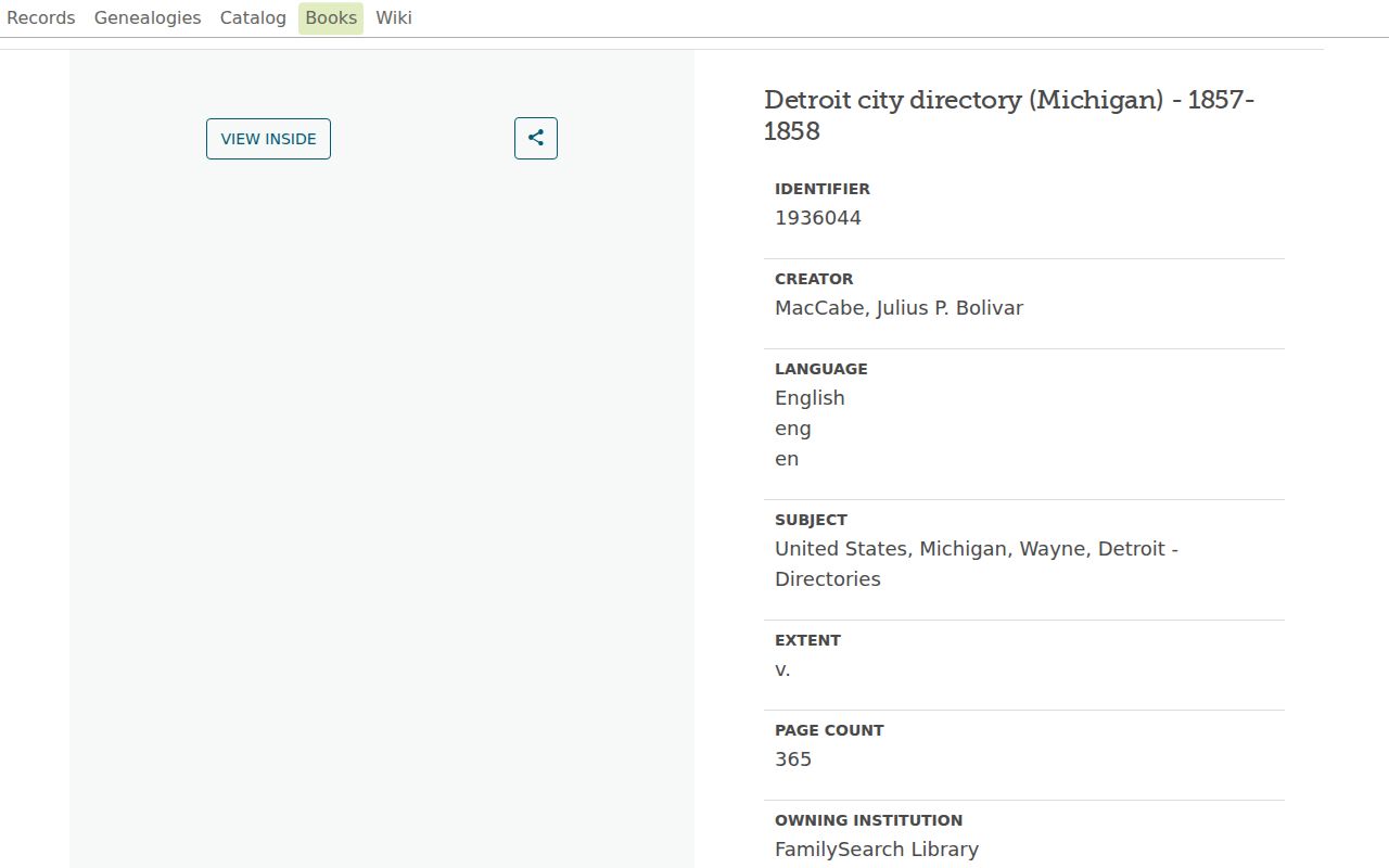
Check each page for its municipality and full address. A Detroit-area name match does not become a Taylor household match until the original entry supports it.
- Start with the dated owner or parcel event from the deed chain.
- Test the surname, initials, spouse or parent, street, municipality label, and approximate year in a verified directory or index.
- Read the original page and record the publisher, year, page, repository, and whether it is an image or index.
- Pair the dated entry with the available federal census, which follows the 72-year public release pattern.
- Use a probate, cemetery, obituary, court, or deed record to corroborate a move, relationship, or death event.
The National Archives explains the release pattern, and 1950 census material is publicly available in the current release cycle. A missing directory entry may mean a gap in the book, a different place label, a spelling variation, or an unlisted household.
Taylor Previous Residents Local Desks
Taylor Community Library is at 12303 Pardee Road, with 734-287-4840 listed on its official page. Posted hours are Monday through Thursday from 10 a.m. to 8 p.m., Friday and Saturday from 10 a.m. to 5 p.m., and Sunday closed. The library links to local-history material, Michigan eLibrary databases, and Ancestry Library Edition for use inside the library. Ask staff for directory holdings, local-history shelves, year runs, reproduction rules, and whether any material is arranged by street.
The Taylor Community Library page provides the local research access details shown here.
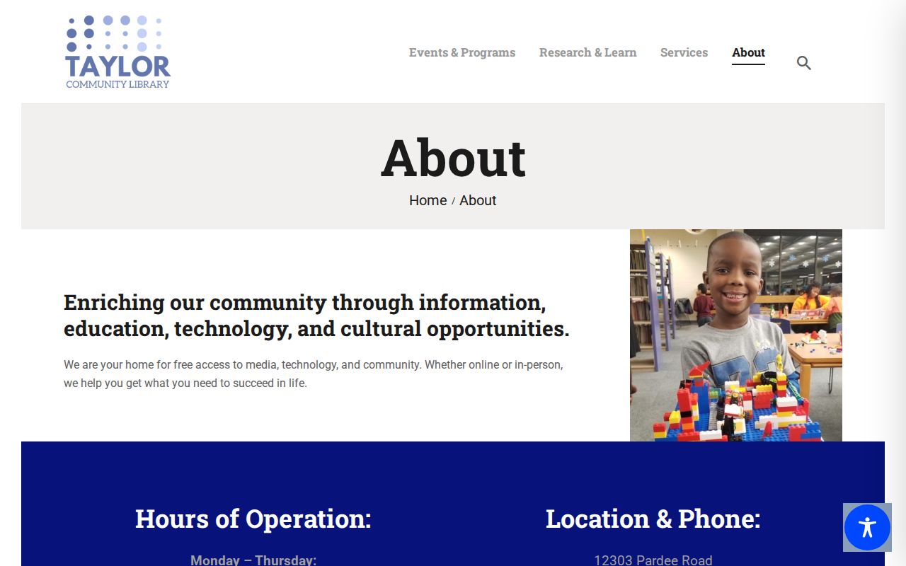
A staff confirmation is needed because no Taylor directory run or public obituary index was identified in the research. A library visit can still add a catalog record, regional holding, or referral that an online search does not reveal.
The Taylor digital archive offers Keyword, Boolean, and Exact searches with Item, File, and Collection choices. Its visible material includes board-meeting minutes. Search an exact street, park, civic building, or department term for dated context, then inspect the original item rather than treating a mention as occupancy evidence.
The Taylor digital archive displays the local search controls used for those contextual searches.
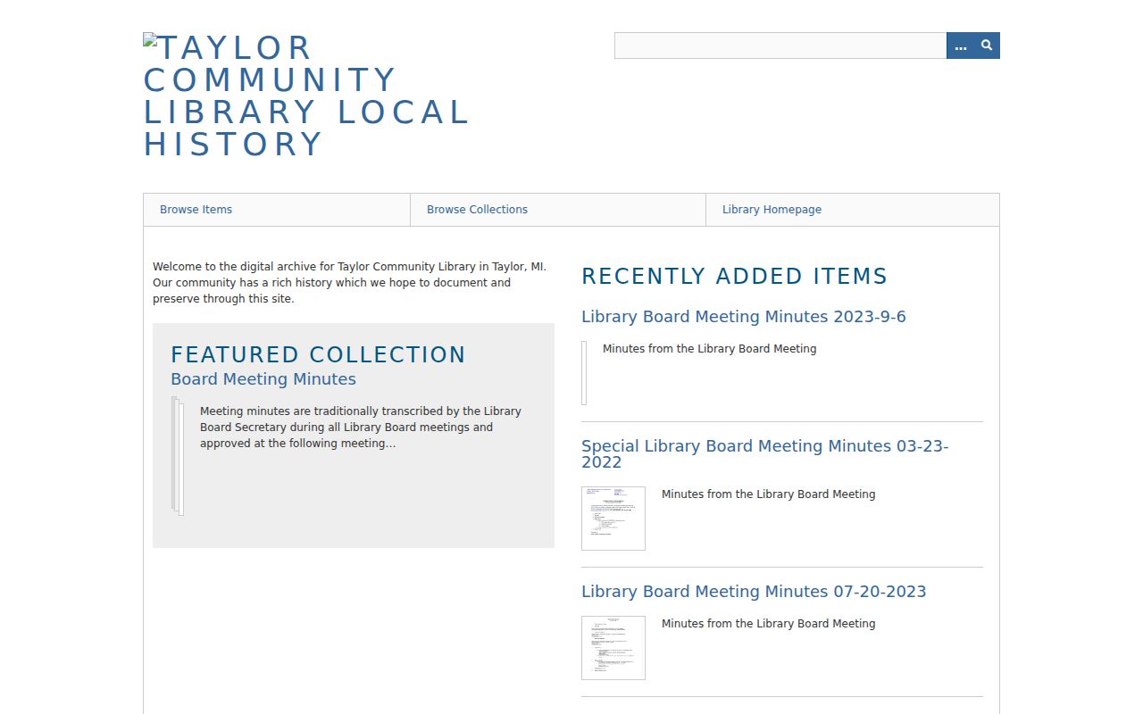
Minutes can support a Taylor street-history lead, public project date, or civic reference. They do not replace a deed, census, or verified directory page for a household conclusion.
Note: Retain the Taylor catalog or item citation so another researcher can repeat an archive search and inspect the same original material.
Taylor Permit Form Clues
Taylor's 2023-2024 building-permit application is an address-centered municipal form. It includes a property address and zoning, owner and applicant contact fields, construction or repair information, dimensions, materials, and estimated cost. The form can be a dated clue about an application or construction relationship. It is not proof that an applicant lived at the property, and its version should be recorded whenever it is used.
The city's residential and commercial reoccupancy form is another address-centered record. It identifies an address, current-use category, owner or requestor fields, and an inspection request. The research did not locate a continuous public historical occupancy database or a public code-case search. Use the city form and department as a request path, not as evidence of an unbroken resident list.
Taylor's documented building-permit application and the city permit page are the official starting points. When older form versions matter, compare the actual document date and fields before drawing a recordkeeping conclusion.
Taylor Previous Residents Gaps
No official Taylor street-renumbering or street-renaming schedule was located. No Taylor-specific Sanborn Fire Insurance map year, public address-indexed permit archive, digitized criss-cross directory, or comprehensive cemetery database was verified either. A tempting old-to-new address match should remain tentative until a plat, legal description, original map, dated notice, or other primary record connects the labels.
The 1876 Wayne County atlas is a verified historical map lead, while Taylor-specific Sanborn years remain a research gap. Search the Library of Congress, Library of Michigan, University of Michigan, Detroit Public Library, Taylor library, and historical society for map or plat holdings. The city archive may also help with dated public notices. Keep the source, retrieval date, and uncertainty beside every proposed connection.
Wayne Register of Deeds Mortgage and Deed Fraud resources also offer a Taylor owner a monitoring lead for filings associated with that owner's name. Use the current official Register page before entering an email or responding to an alert, because older county notices may use a different land-record domain. That service is for ownership protection, not for constructing a list of people.
Note: A Taylor address connection remains tentative until the original source links the historical label, parcel, and date.