
Taylor ZIP Code Directory Coverage
Research verified 48180 as the standard postal ZIP associated with Taylor. The Wayne County ZIP map and USPS city/state material support that association. Research did not verify another standard ZIP as being in Taylor, nor did it locate a parcel-level official analysis of every edge overlap. Nearby labels on the Wayne map are useful border context only. They should not be turned into Taylor ZIP claims without testing the parcel, postal route, and municipal boundary.
| ZIP code | Areas covered | Post office | Research note |
|---|---|---|---|
| 48180 | Verified Taylor postal association | USPS city/state association for Taylor | Use as the primary Taylor filter, then confirm parcel and city. |
| 48174 | Romulus label on Wayne map | Not identified as Taylor | Border context, not a Taylor claim. |
| 48146 and 48195 | Lincoln Park and Southgate labels | Not identified as Taylor | Nearby labels only. |
| 48192, 48193, 48125, and 48242 | Riverview, Wyandotte, Dearborn Heights, and Detroit labels | Not identified as Taylor | Require parcel-level verification before any Taylor use. |
The ZIP code directory therefore has one verified Taylor postal association, not a long citywide ZIP list. That limitation protects against a common error: treating any nearby routing label as a municipal address. ZIP areas are delivery constructs, and the Census-style areas on the county map are approximations rather than legal city polygons.
Note: A nearby ZIP label is useful for comparing an address, but it does not prove that the address is inside Taylor city limits.
Taylor ZIP Code Directory Evidence
The county's ZIP map was produced in September 2019 and states that its ZIP areas follow 2010 Census delineation. That provenance is helpful because it explains why the map should be treated as approximate. USPS city/state lookup is the delivery-side check, while municipal-boundary and parcel GIS layers are the jurisdiction check. For a Taylor address, use all three before recording an unexpected code as a municipal fact.
The USPS city/state ZIP lookup is shown in this source image.
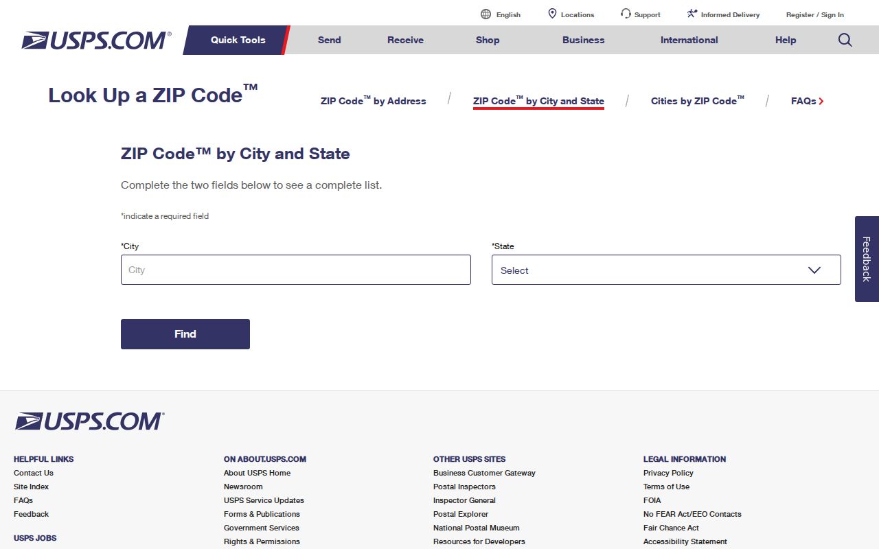
The postal tool is the right first check for a mailing code, but it cannot replace a county parcel or municipal-boundary review.
USPS routing material lists TAYLOR MI 48180 in postal context. The same research notes that routing lists can place nearby codes beside it. That is why a result with another code needs a fresh check instead of an automatic correction.
Taylor ZIP Code Search in Tax View
Wayne County Tax View is the verified ZIP-capable record search for a Taylor ZIP code directory workflow. Its form supports parcel, owner, street, city, and ZIP fields. A 48180 filter can narrow the initial set, but each hit still needs the city and situs fields checked because a mailing address may differ from the property address. Taylor assessment, county tax, Register of Deeds, and GIS systems carry different roles and should not be treated as one record.
| Tax View field | Use in a Taylor ZIP search | Limit to remember |
|---|---|---|
| ZIP | Narrows a county property search to a postal code | Does not prove the situs city. |
| City | Tests the municipal label alongside the ZIP | Compare it with the parcel map for border questions. |
| Street | Refines a known address within the ZIP | Street text alone is not an owner or occupant finding. |
| Parcel or owner | Locates a specific assessed parcel or record party | A taxpayer or recorded owner is not automatically a resident. |
The Wayne County Tax View search form is captured below.
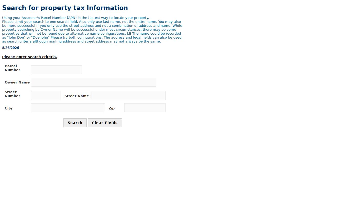
The visible ZIP, city, street, owner, and parcel choices make the county form a practical first filter, followed by parcel-level confirmation.
Taylor ZIP Code Property Portal
The Taylor Assessor's Office links its municipality to BS&A Online for current tax, assessing, detailed record, property sale, and delinquent personal property search families. The assessor is at 23555 Goddard Road, and it says a record request can be made by phone, email, or the city Contact form. The linked BS&A portal returned HTTP 403 during research, so its live Taylor field labels and result cards were not independently captured. Do not promise a ZIP filter there without checking the current live portal.
The Taylor BS&A municipality portal appears in this source image.
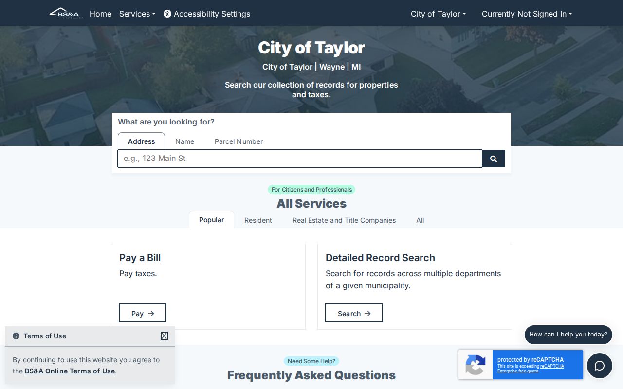
When the portal is unavailable or insufficient, the assessor's phone, email, and city Contact form remain documented access channels.
Wayne GIS supplies another comparison layer. It publishes parcels, roads, municipal boundaries, ZIP codes, school districts, and state and federal districts, while warning that GIS data are not guaranteed. Use its parcel geometry as location context, not as proof of a household or an ownership decision.
Finding Records by Taylor ZIP Code
A Taylor ZIP code directory search starts with a postal code and ends with a confirmed record. It is a narrowing tool, not a person list. The county tax form has a ZIP field. Wayne GIS provides map layers for parcels, roads, municipal boundaries, and ZIP areas. Michigan's public voter data route is a different process: MVIC's exact public controls were not captured, and a QVF request may use geographic scopes such as jurisdiction, county, district, school, or precinct. Research did not establish a public voter browse-by-ZIP tool.
- Verify the mailing ZIP with USPS city/state lookup and note the retrieval date.
- Enter the ZIP in Wayne Tax View, then pair it with city, street, parcel, or owner fields only when they are relevant.
- Compare the returned city and situs labels with the county parcel GIS and municipal-boundary layer.
- For a specific parcel, use the assessor or Register of Deeds as the appropriate next custodian and retain the record date.
Once a ZIP result has narrowed to a street and parcel, the Taylor streets resource handles the address-keyed record trail. It distinguishes situs address, mailing address, taxpayer, and recorded owner rather than treating those labels as interchangeable.
Taylor ZIP Codes and City Lines
ZIP codes are postal delivery constructs, not city boundaries. The Census TIGER place reference identifies Taylor city separately, while Wayne GIS publishes municipal-boundary data. An address may look unexpected because of postal routing, a separate mailing address, edge geography, a data-entry issue, or a service assignment. Research did not locate a specific non-48180 Taylor parcel example, a Taylor readdressing project, or a separate public E911 address-assignment portal. That gap is a reason to confirm, not to infer.
- ZIP and ZIP+4
- A ZIP identifies a broad delivery area. ZIP+4 adds a more specific delivery segment and does not set a city boundary.
- PO-box ZIP
- A PO-box ZIP routes post-office boxes. It does not identify a neighborhood or a municipal polygon.
- Unique ZIP
- A unique ZIP is assigned to a single large recipient or organization. No Taylor unique ZIP was verified in this research.
- Carrier route
- A carrier route is a delivery sequence used by the postal system, not a jurisdiction or resident roll.
Taylor Service Center ZIP Difference
The MDHHS Taylor Service Center at 25637 Ecorse Road is in 48180, yet the Wayne district ZIP-assignment document lists many ZIPs served by that office. Those codes include 48134, 48138, 48146, 48164, 48167, 48168, 48170, 48173, 48180, 48183 through 48186, 48193, 48195, and 48242. They are administrative service assignments. They are not evidence that the listed codes are inside Taylor.
This is a useful comparison rule for any Taylor ZIP code directory result: identify whether the source is postal, tax, GIS, city jurisdiction, or agency service territory. Similar-looking lists can answer entirely different questions.
Note: MDHHS service geography should never be used as a substitute for USPS delivery data or Taylor municipal boundaries.
Taylor ZIP Code Verification Chain
When a Taylor address returns a non-48180 mailing ZIP, do not silently change it. Check USPS city/state lookup, Wayne Tax View ZIP, city, and situs fields, Wayne parcel GIS, and the municipal boundary. Compare the retrieval dates because portals and map services change. The original source may show a mailing address that differs from the property location, or an edge route that needs a more careful reading.
Research did not verify a complete public parcel-number format, an official street-number conversion, or every ZIP-boundary overlap. The responsible result is a short verification chain and a clear record label, not a confident guess from a map edge.
There is also no verified Taylor-specific ZIP realignment, PO-box-only ZIP, or unique institutional ZIP in the research. Do not fill those gaps with a list from a service-center document or a commercial routing page. Taylor's practical record path stays consistent: first verify the delivery code with USPS, then use Wayne Tax View to compare ZIP, city, street, and parcel fields. If a result needs jurisdiction context, use the county's parcel and municipal-boundary data. If it needs a public record or a correction, contact the Taylor assessor or the relevant county custodian.
Those steps keep the Taylor ZIP code directory focused on what the sources actually establish. They also preserve the difference between a postal association, an assessed property, a mailing destination, and a city boundary. A code is a helpful filter. The dated original record is the evidence that can confirm the next step. Record the source URL and date alongside each Taylor ZIP result.